Friday was my 4th attempt at cycling the South Downs Way in a day. 100 miles from Winchester to Eastbourne and over 4000m of climbing, almost all on flinty, chalky, loose or turfy surfaces. There are a handful of really short sharp and vicious climbs and quite a number of long slow tedious lung-busting climbs.
I left Winchester at 3.05am and was in Eastbourne by 6pm. Quite possibly the toughest thing I have ever done. I'm delighted for two reasons; one, that I have done it, and two, that I won't have to do it again.
I fell off in a deep rut at a reasonable speed about 20 miles in and had to fettle the bike a bit to get it going again. I had managed to turn the handlebars through 180 degrees (scratching the top tube in the process) and had to unclamp the handlebars to get them turned back. At this point I made my first serious error, though it didn't become evident for some time. I had failed to zip up my under-saddle tool pack. Somewhere in the next 30 miles all my tools fell out. (In fact I felt the main lump hit my right heel, but I put it down to a rock being kicked up. Agh !) So, no spanners, allen keys, etc, but more importantly, no tyre levers (though I did still have four spare inner tubes). Punctures are a big issue on the SDW with all the flints. Half a mile after discovering this, I got a p*nct*r*. I managed to improvise with the over centre clamp and bracket from my Hope Vision 1 and managed to get the tyre off (it took about 20 minutes of finger wrenching nastiness). Up and running again. Half distance had taken six and a quarter hours, but the p*nct*r* had slowed me, and realising quite how difficult it was to get the tyre off I started going down the descents (where you can go really really fast) really really slowly to try to prevent getting another p*nct*r*. Going slowly down hill is hard work on the arms. Net result is that the second fifty miles took eight and three quarter hours. Plus I was shagged out. Immediately after the p*nct*r* came gross error Number 2. I left the pouch on my pannier open, and my phone bounced out. So, toolless and phoneless I felt quite exposed.
A mile before Ditchling a nice chap let me borrow his phone to let mrs hatler know I was OK.
At Firle Beacon, secure in the knowledge that I would make it to Eastbourne before dark, I took the opportunity for a lie down for quarter of an hour. Hot sun, a perfectly cooling breeze, legs that felt used but still with energy in them, and a completely empty head. I haven't felt so peaceful in years.
I've previously done the whole route except for the last descent into Alfriston, and the stretch from there to Eastbourne. I'm not sure if the two climbs after Alfriston really were the worst, or whether it just seemed that way through unfamiliarity and extreme knackerdness. Alfriston is effectively at sea level and the climb out (200m ascent) is up a nastily lumpy track, very hard to get any regular rhythm going. A quick run along the top there and you are back down to Jevington at about 100m. One final climb out of there (to 200m again) is also up a rubbly, lumpy track. By this stage of the day I wasn't proud about not stopping on the climbs. It wasn't a race and I didn't want to kill myself. I think I must have stopped for a breather at least five times on both of these ascents. At the top of the last climb you can see the dreaming spires (ha) of Eastbourne. Never has such an ordinary looking town evoked such a feeling in my breast.
I had a great chat with a farmer, a couple of the walkers, and a horse rider. Everyone was in such a good mood.
I saw three owls, and a deer and a badger really close up. These last two were completely unphased by my presence. The badger rooted around about 6' away for a few seconds, then as I went for my camera he shuffled off into the undergrowth. The deer just stood looking at me from about 12' for 30 seconds. Utterly calm.
Anyhow, the sun shone and the scenery was outstanding. And I had the perfect excuse on Saturday to do absolutely nothing.
Pics
Sunrise on the move.

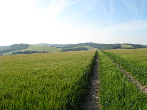
Solitude. Some way to go.
Still early morning. Top of a hill somewhere
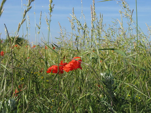
Poppies
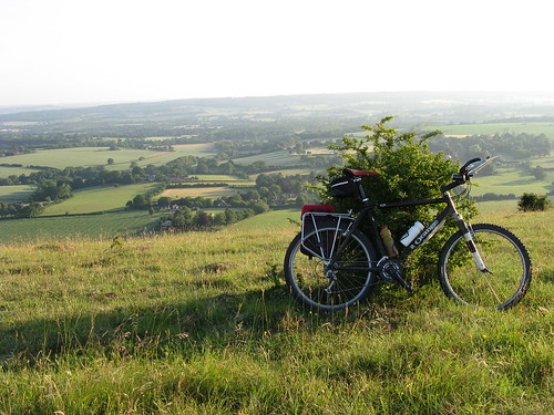
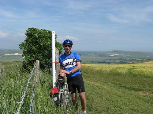
Well over half way
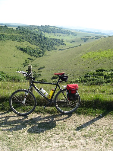
Somewhere East of Lewes
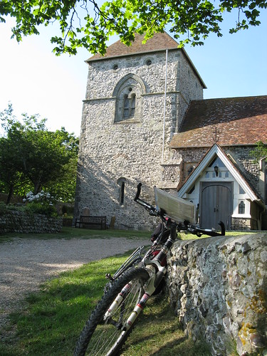
Jevington Church
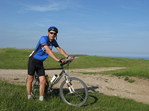
On top of the last climb (thank god)
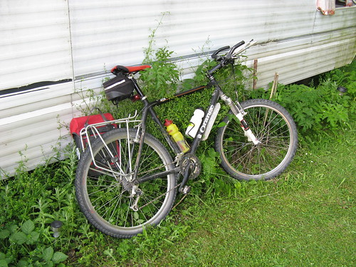
Back "home"
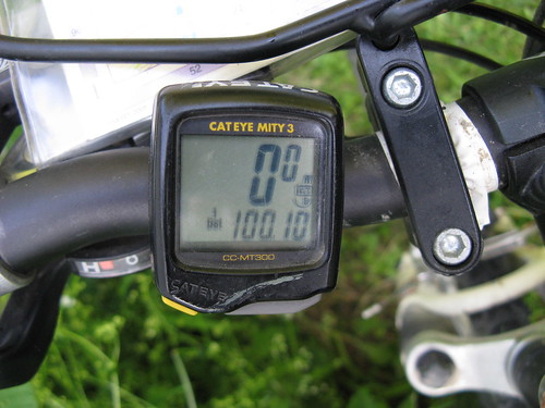
My first century !!