Reminds me, I really need to finish off my code that allow me to give an idea of the minimal rides I'd have to do to grow my cluster or square.
e.g. with a ride that goes through x squares I could add y to my cluster
Especially if I can seed it with the locations of suitable train stations.
For example, just 5 more tiles between Maidenhead and Bisham (the
enhe of 'Maidenhead' in the map below) would add a significant chunk to my cluster:-
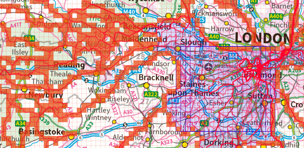
(I'd do more than that if I went out that way, probably a big swirl to fill in lots of bits through Henley, ending at Windsor.
I've also got quite a dense area that isn't connected centered around Henham/Ugley due to those Audaxes. It'd only take a single well planned 100km ride up there to extend the cluster that way.
It's quite easy to make a single way trip cover two squares wide, and very easy to make a return trip covers a strip 3 squares wide in order to extend a cluster. (That is, of course, if there are easy enough roads to do this. It starts to be more of a problem in the sticks as it may require some trips down dead ends, but the roads aren't sparse to cause much concern in the SE of England).
Biggest call are the 11 squares that cover Guildford that would move my max square up from the 3 overlapping 18x18s to a single 21x21.
I've also got the benefit of having completely unvisited squares only 5 squares away from home having never bothered to cycle in East or North London that much.

