While Streetview has always held a charming fascination for me I do, after all, appear on it in (at least) three distinct locations (boastpost

) I understand that much of it was achieved by someone driving, tricycle-ing or back-packing a multi lens camera all over much of our planet, and then a machine joins up the images.
However, here is a screen grab from Maps which comes with Mac OS these days
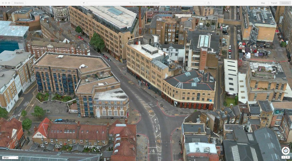
I can rotate that image, tilt it, enhance 15 to 23
(sic) , pan, zoom in and out pretty much as much as I like.
Can anyone explain to me how were all those views were captured?

