Well I did my first DIY by GPS* on Sat., so just subjecting you all to a brief report...
 *provisionally validated.
It was a 123km local ride from Abingdon to Bibury in Cotswolds, via Leafield (and Burford). The route shape meant that there seemed to be more head/cross wind than tail wind, but... what a glorious day! Started North up to Eynsham, where we came to a grinding halt for around 5mins directly opposite Cuckoo lane, at the fast flowing river of cars that is the A40 - must try the junction further East sometime. Anyway with the weather being mild, I quickly shed my light jacket for sh/s jersey on the way to Finstock, and after Leafield (ride's highest point) the sun came out and stayed out! We stopped in Burford (41km) for a coffee and flapjack courtesy of The Cotswold Cheese Company (surprisingly), and sat outside in the sun, looking down the High St. More Windrush valley awaited with a superb little stretch of scenery to Little Barrington. Then over to Bibury (66km), via the picturesque Hatherop & Coln St Aldwyns, with some great views of the Leach river, and also meeting Zappis of Oxford club riders having a break. I hadn't been to Bibury for years, and though there were quite a few people around, including one coach, it was by no means 'heaving'. After a bit of a chat to a cyclist from Kidlington on 531 steel, and having consumed a packet of smokey bacon crisps it was time to head off. The return was through Quenington & Eastleach to Filkins, on some surprisingly decent roads, though with a still somewhat elusive tailwind. Stopped for a rather good egg and bacon sandwich from Bampton Co-op, before a bit of a wind slog down to Tadpole bridge & up Buckland hill. I was generally fairly tired on reaching home, feeling quite glad not to have set out to do a 200km on this occasion. A great day, must start planning another...
[7hrs in total including stops, and a moving average of 22.5km/h].
Some pics...
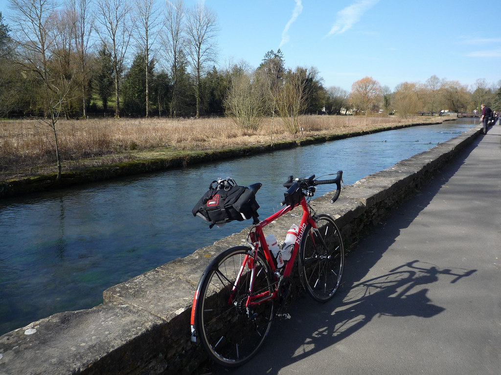
Coffee in Burford...
 P1020053
 by
ao, on Flickr
 P1020058
 by
ao, on Flickr
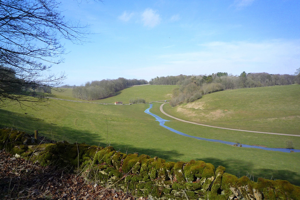
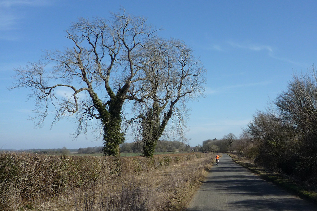
En route to Little Barrington...
 P1020059
 by
ao, on Flickr
River Leach, from Roman Rd on the way to Hatherop
 P1020080
 by
ao, on Flickr
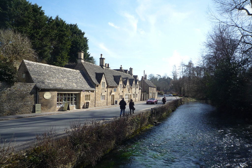
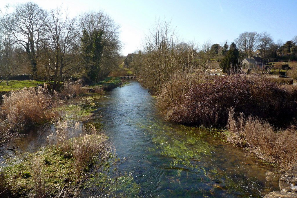
River Coln in Bibury...
 P1020103
 by
ao, on Flickr
 P1020101
 by
ao, on Flickr
 P1020104
 by
aaekoxon, on Flickr
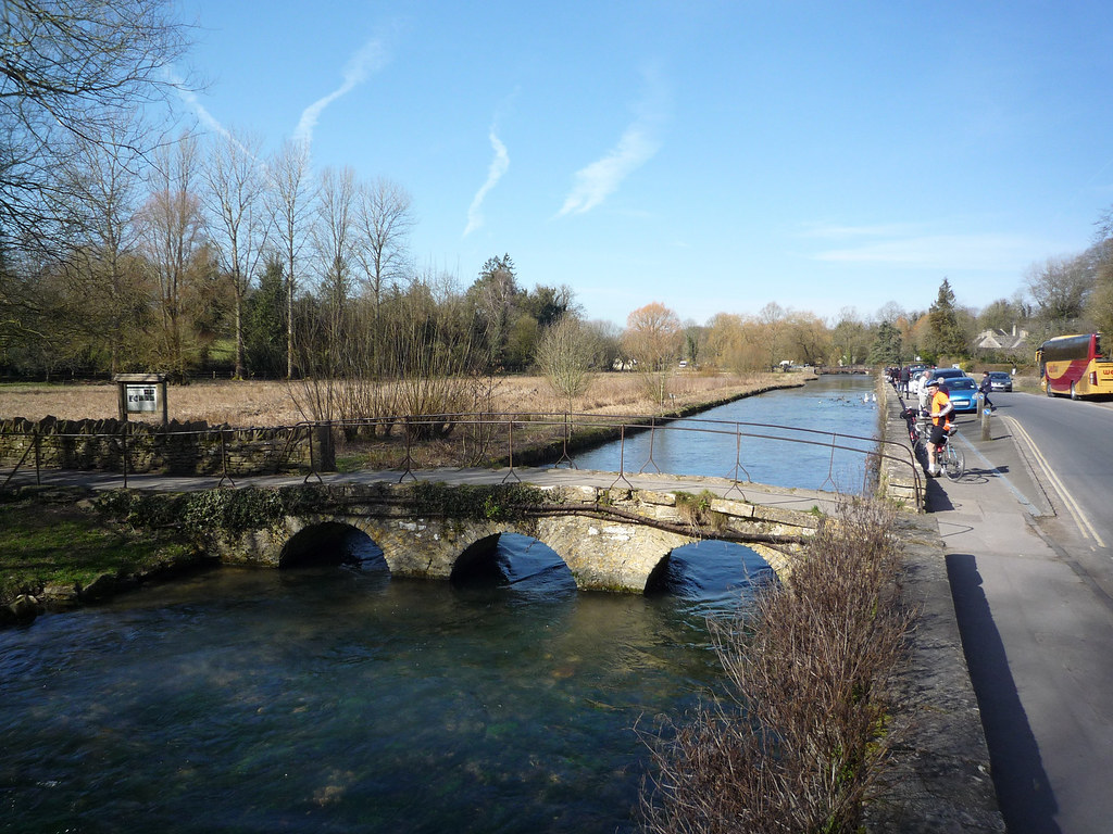
On way to Quenington
 P1020111
 by
ao, on Flickr
The Leach at Eastleach...
 P1020121
 by
ao, on Flickr

