Last weekend in Tulsa, so decided to do a 200k.
( Someone *really* needs to get dropped 400k out of Tulsa, and then do a ride back called "24 hours from Tulsa" )
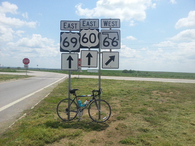
Route:
http://connect.garmin.com/activity/311269249Google maps suggested a cycleway to take me North through the city, called the 'Mingo Trail'. It's not visible on Google sat view or street view as it's quite new. Tulsa city website produced trail maps, and all seemed fine.
The trail takes you through the *bottom* of a major storm drain:
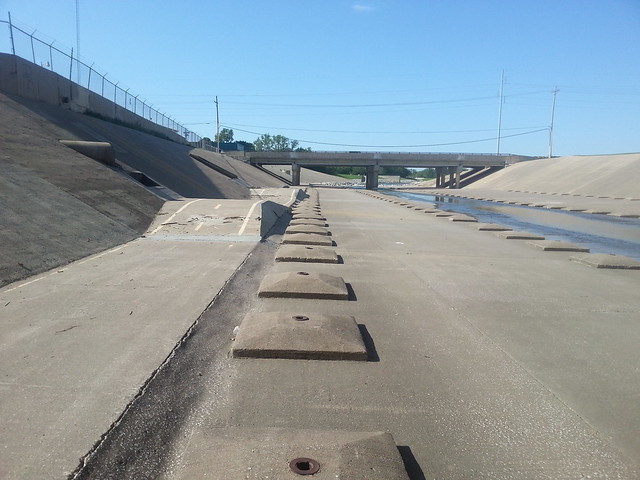 Storm Drain Cycleway
 by
Ron Lowe, on Flickr
There are signs warning not to use it if the water level is up...
The trail supposedly re-joins the road network a t the Northern end.
Does it bollox:
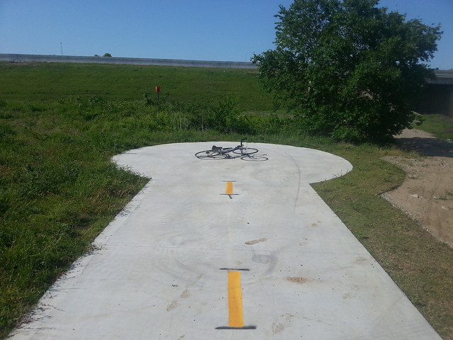 End of the Cycleway
 by
Ron Lowe, on Flickr
It ends in a circular concrete pad, like a track on a PCB. There's no through-plated via to an alternate reality in the middle. A 200m hike carrying the bike through undergrowth along a vague path where others have done the same thing ensued.
Nowata is a one-horse town:
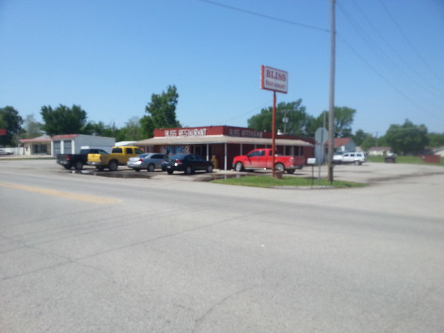 Nowata control
 by
Ron Lowe, on Flickr
Road from Nowata to Vinita:
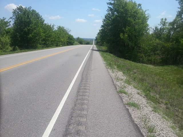 Nowata to Vinita
 by
Ron Lowe, on Flickr
Vinita control:
 Vinita control
 by
Ron Lowe, on Flickr
The section of historic route 66 back to Tulsa was a disappointment. I'd expected them to big up the heritage value, with lots of 50's style chrome diners and Route 66 neon signs etc. Nothing at all, except a couple of car dealers and scrap yards using the name. The road runs along side the railroad, and several freight trains came past. These are an impressive sight. 4 locos, hauling a train about a mile long. Only interesting thing was a blue concrete whale at Catoosa:
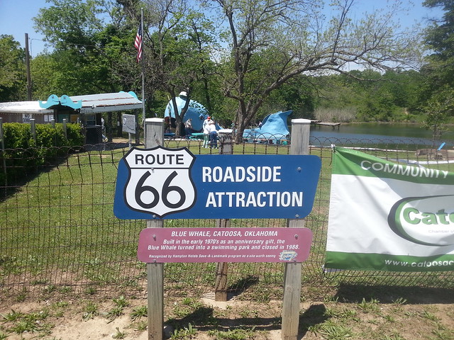 Blue Whale
 by
Ron Lowe, on Flickr
I didn't come across another cyclist all day.

