Another postscript
The first place I wanted to visit was Greenland Hill. That’s what it was called on WW1 trench maps, and if you overlay a modern map on the trench maps, it’s pretty much where the autoroute A1 crosses the A26. It was where Uncle Harry suffered his first headwound in an attack on Greenland Hill. His war record was:
August 1914 – joined up (Gordon Highlanders)
1915 – wounded
1916 – commissioned
1917 – (Black Watch) wounded at Greenland Hill (right side of head)
1918 – (Gordon Highlanders - 51st Highland Division) wounded at Neuville Vitasse (right side of head again)
1919 – demobbed
(to which you can add :
early 1920s - emigrated to Canada
early 1960s – showed me the scar on the side of his head and told me how he got it)
There wasn't a lot to see at Greenland Hill. There isn't much of a hill, and the western slope is hidden by the autoroute embankment. But I'm glad I went there.
Greenland Hill in 2016
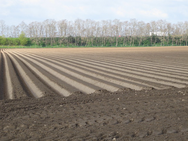
During the autumn following this tour, I attended a lecture at the National Archives in Kew about the lessons learned by the British Army in 1916 which were put into practice in 1917. At one point the speaker said, almost as an aside, that some trench maps were still wrong, and that Greenland Hill was marked in the wrong place on the maps.
So the ploughed field pictured above where I stopped and stood reverentially for a minute or so was just that - a ploughed field.
Uncle Harry in late 1916 (a photo which came to light recently)


