Well! That was AWESOME! Nothing like a day skiving off work in the hills

.
We parked the van at High Force, and walked the bridleway alongside the Danger Area, after taking the Pennine Way from HF. We didn't make it all the way to Maize Beck, for several reasons - but mostly because of the technical nature of the terrain.
We joined your proposed route here:
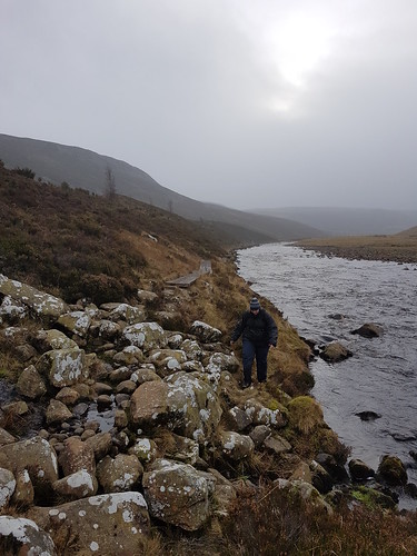
http://www.streetmap.co.uk/map.srf?x=386073&y=528050&z=115&sv=386073,528050&st=4&ar=y&mapp=map.srf&searchp=ids.srf&dn=841&ax=386073&ay=528050&lm=0The track is soft tussocky grass, moss, and random rocks:
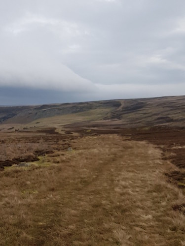 20170124_113951
 by
Chris Smith, on Flickr
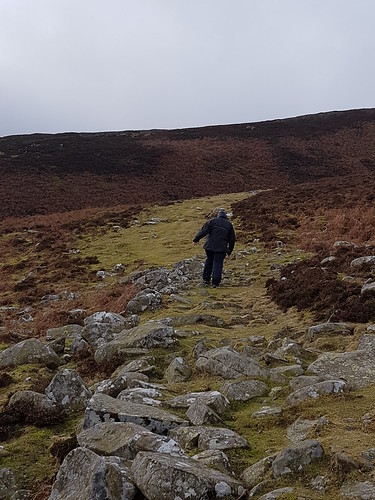
As you climb Birk Rigg, heading west, it becomes steeper, and rockier:
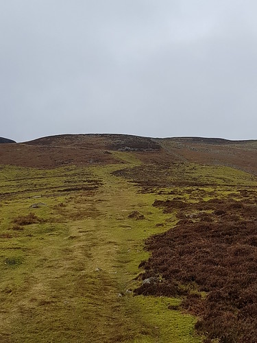 20170124_114502
 by
Chris Smith, on Flickr
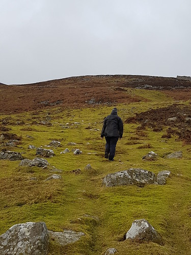 20170124_114816
 by
Chris Smith, on Flickr
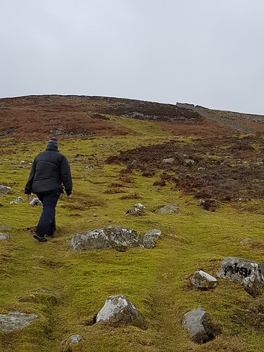 20170124_114813
 by
Chris Smith, on Flickr
The ramp at the top is steep - Strava reckons 35%.
Once at the top, it's properly rocky
 20170124_115340
 by
Chris Smith, on Flickr
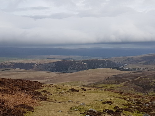
but the view back into the Tees Valley is tremendous
 20170124_115558
 by
Chris Smith, on Flickr
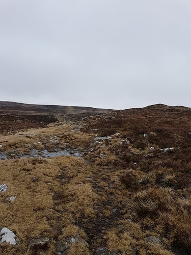
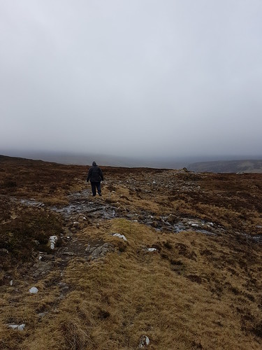
Once at the top, the path is indistinct, and alternately rocky, boggy and in places precipitous as you head back down to the river
 20170124_122323
 by
Chris Smith, on Flickr
 20170124_122328
 by
Chris Smith, on Flickr
We made it to Lingy Holm, but the weather was closing in, and we needed to leave enough time to get back to civilisation before the Wolves came out
http://www.streetmap.co.uk/map.srf?x=381940&y=527937&z=115&sv=381940,527937&st=4&ar=y&mapp=map.srf&searchp=ids.srf&dn=841&ax=381940&ay=527937&lm=0There's no sign of any crossing point this far downstream of the Dam, and although we can't comment on Maize Beck, the Tees here is much more of a river than we anticipated. You could probably ford it on foot if it's been as dry as it has been recently, and in the summer - today it looked to be about 30-50cm deep at the most suitable crossing points, but it has been
very dry.
Walking up/down the valley here is very hard going - it's basically a bog with many small (one or two not so small) becks to traverse. The section you show on the map, between Lingy Holm and Birkdale, over Black Hill, is probably hard going - it's boggy and there look to be many more becks to cross.
 20170124_135010
 by
Chris Smith, on Flickr
When we get another chance we'll walk down from the Cow Green end and check out Maize Beck for you.
FWIW - fboab asked me at one point: "Have we walked any section so far that you'd want to ride a bike on?", and I have to say, I couldn't think of much! YMMV of course.

