That there High Cup looks worth a look... on the map there's an obvious return route via Scordale. And if you go a bit further, there's "Great Cocklanke" and "Cauldron Snout", which seem like suitable destinations for a YACF ride...
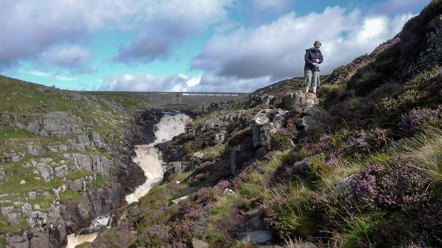
DO NOT ATTEMPT TO CYCLE DOWN CAULDRON SNOUT!!


It's a tricky enough walk...
Cow Green-High Cup is the route I'll be coming, assuming I'm riding over (which is weather and time-dependent - I'm not sure I'd be up to riding straight into a howling westerly for 50 miles). ISTR it took about three hours from Cow Green to High Cup. It would probably have been easier with knobbly tyres, as there was a lot of trudging across peat bogs.
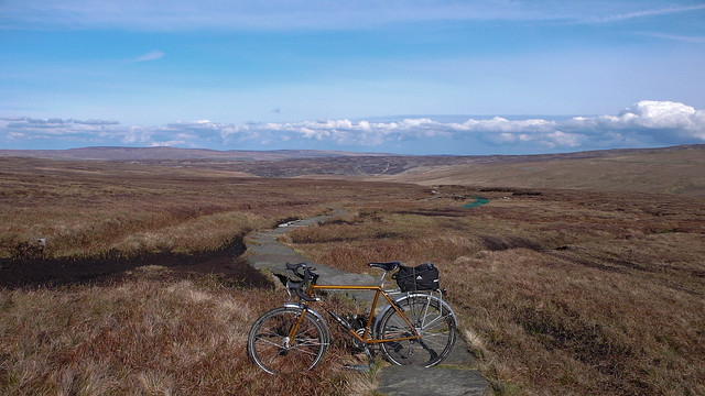
I think the track by Maize Beck is more like the above, with added rockiness, but it's a long time since I went that way. The photo is just above Birkdale. It'd be a full day out on the bike from Dufton - take sandwiches! Navigation is quite tricky going west-east, as there are fewer landmarks - there are trig points on the hills either side of High Cup, so it's fairly easy to follow, as long as the clouds don't roll in. I assume you'd be following a track, mind.
I'll probably be leading the hordes up to the radar station, anyway, but I'm happy enough to have different groups


